

Application Description
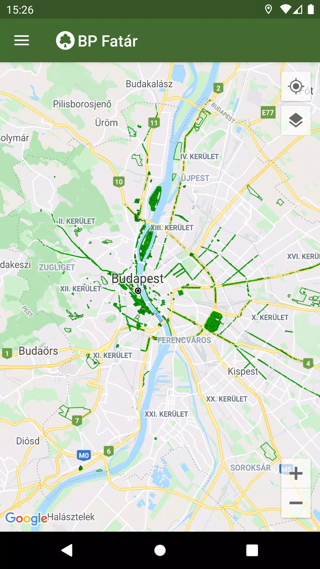
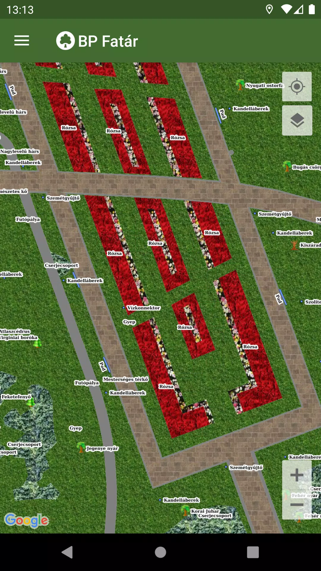
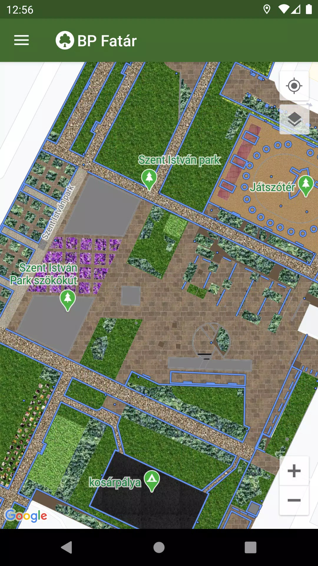
Discover the comprehensive tree and park cadastral system offered by the MAIN GARDEN through the BP Fatár application. This user-friendly tool allows you to explore the public tree and park cadastre of FőKERT, providing an in-depth look into the greenery of Budapest.
In addition to FőKERT's cadastre, the BP Fatár application also includes cadastres from several district municipalities:
- I. district municipality
- VI. district municipality
- X. district municipality
- XI. district municipality
- XIII district municipality
- XIV. district municipality
- XVIII district municipality
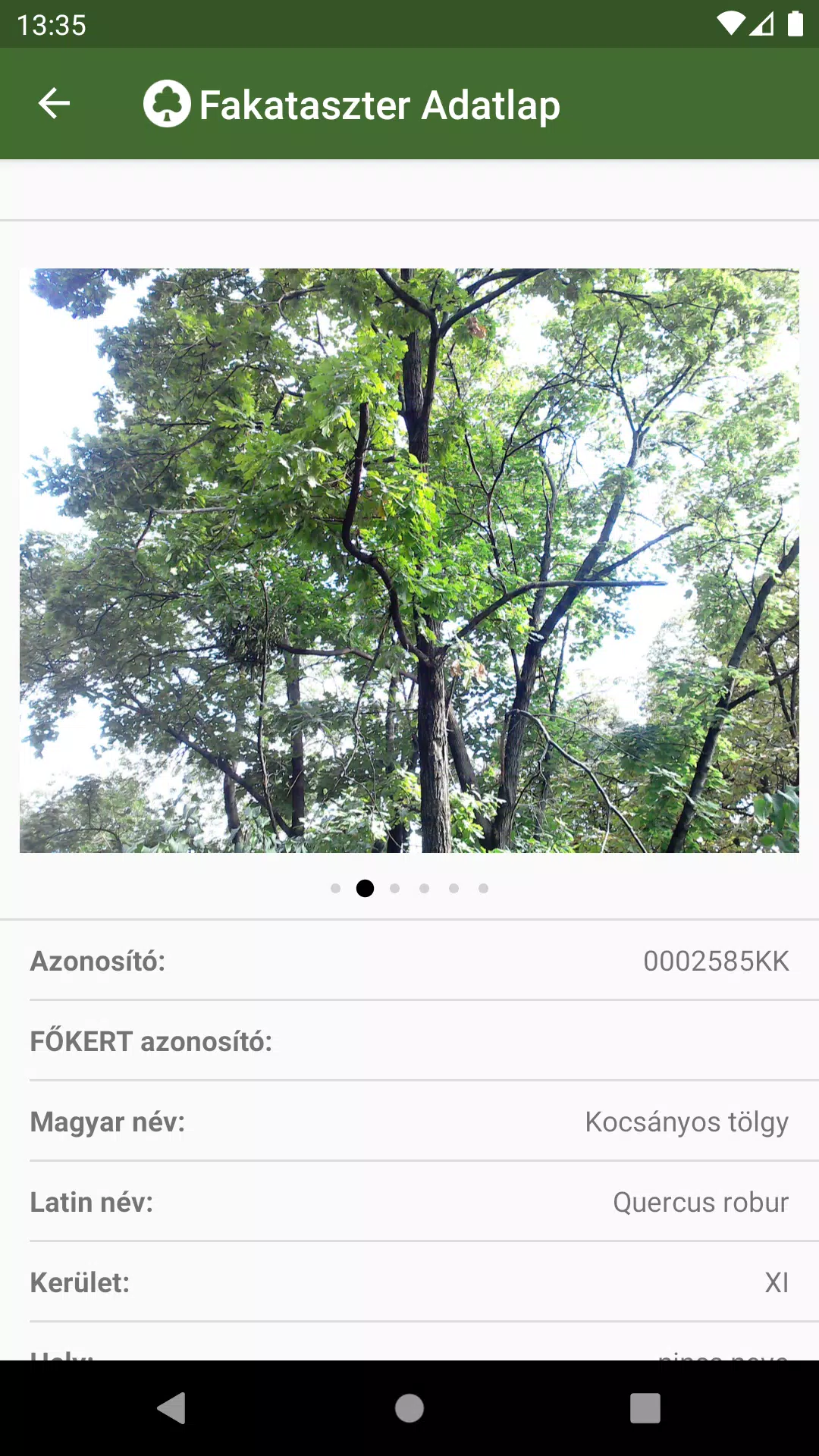
To utilize the application, simply navigate to your area of interest on the map. By clicking on the points, lines, or surfaces that represent cadastral elements, you can access detailed data sheets. These sheets provide essential information about the selected elements, complete with accompanying photos for a better understanding.
To enhance your experience, we've integrated a robust search engine within the application:
- Search for specific tree species using the tree scanner, which supports both Hungarian and Latin names.
- Browse through categories grouped in the park cadastre for a more organized search.
Upon performing a search, the application will display the locations of all matching cadastral elements directly on the map, making it easy to find what you're looking for.
If you encounter any issues, such as a damaged tree or bench, you can report these directly to the data manager's team. Simply click the "Error Report" button found on the data sheet of the affected element to initiate the process.
What's New in the Latest Version 1.5.2
Last updated on Oct 20, 2024
Bug fixes.
BP Fatár Screenshots
Reviews
Post Comments
Trending Games
Trending apps


Latest Articles
More


Xbox Price Rise Sparks PlayStation Hike Fears
Mar 14,2026
Elden Ring Players Struggle with Muscle Memory
Mar 10,2026